Wanaque Reservoir Historic District
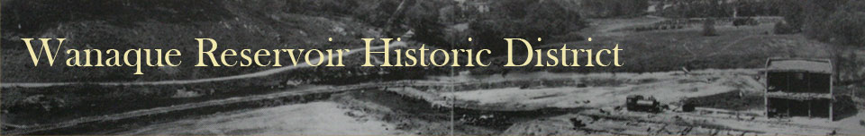
Panoramic view, August 14, 1921, of the former location of the south end of Hook Road (now under water) during the Wanaque Reservoir construction. Source: Wanaque Borough, Golden Jubilee, 1993. |
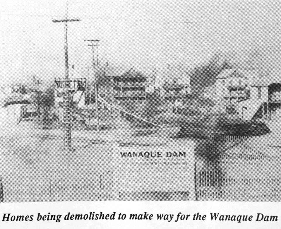
Old furnace in Wanaque now submerged by the waters of Wanaque Reservoir. Source: Suburban Trends, January 26, 1964. |
The Wanaque Reservoir is part of a complex that includes dams, buildings, and structures. Together, all these features form a district. This district has been found to be historically significant for its achievement as a water supply project and as an important and intact example of public utility architecture, particularly waterworks architecture. Due to its historical significance, the Wanaque Reservoir Historic District is eligible for listing in the National Register of Historic Places, which is America’s official list of cultural resources worthy of preservation.
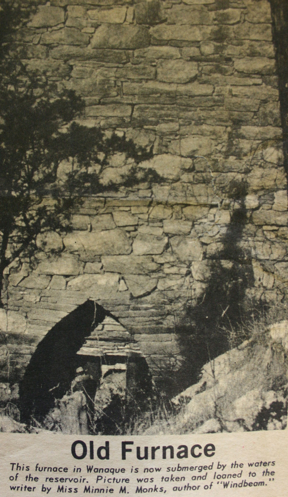
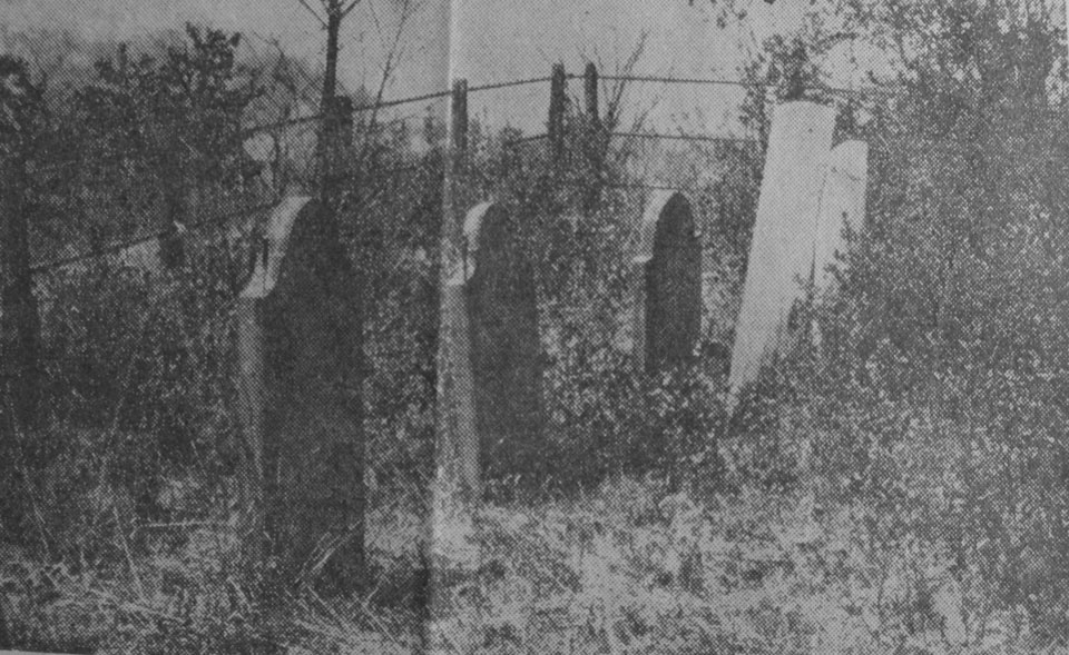
Former location of the Ryerson Cemetery within the present-day Wanaque Reservoir. Source: On file at the Ringwood Library, Ringwood, NJ. Source: Unknown |
Former location of the Board family cemetery before construction of the Wanaque Reservoir. Source: On file at the Ringwood Library, Ringwood, NJ. Source: Unknown |
The West Brook Road Bridge, which is a contributing resource to the Wanaque Reservoir Historic District, is proposed to be demolished due its narrow width and substandard approach roadway alignment. The demolition of the bridge will adversely affect the historic district. In order to mitigate the loss of the bridge, Passaic County, in consultation with the Federal Highway Administration and the New Jersey Historic Preservation Office, has developed this website and had a series of large-format photographs taken of the bridge prior to demolition. Passaic County will also install an interpretative sign at the bridge location.